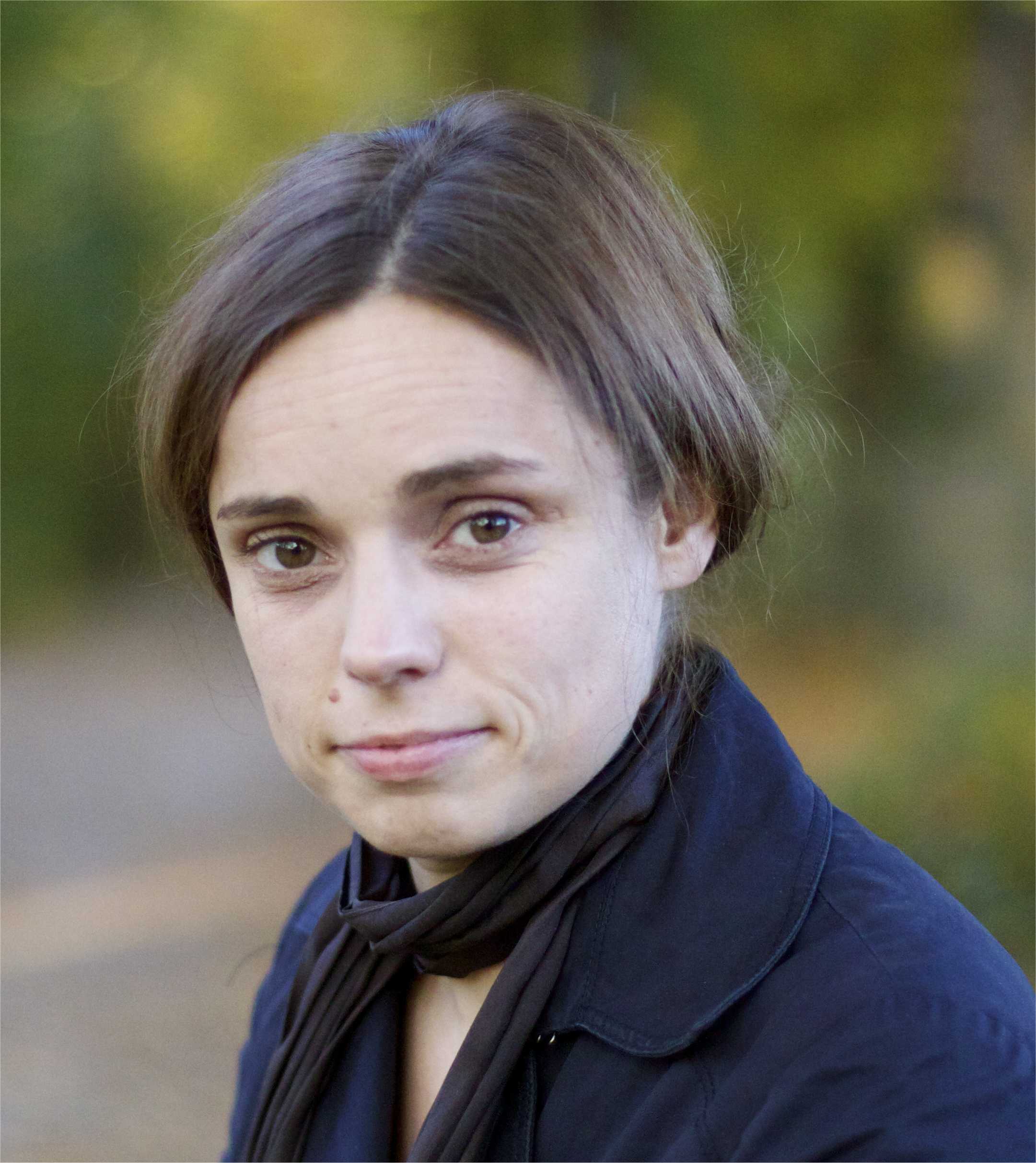
 Karin Schenk, Head of the Water Quality Department at EOMAP, has more than 10 years experience in the fields of earth observation services and applied solutions. She successfully developed commercial water monitoring services for various environmental agencies and industry clients and led or participated in EU funded projects such as FRESHMON or SPACE-O to innovate satellite-based services. Prior to joining EOMAP in 2011, she worked for a large remote sensing company in Munich, Germany on several land focused projects and conducted statistical data analysis for BMW Germany.
Email:schenk@eomap.de
IWA: Your company is specialized in using satellite data for water and environmental monitoring. How is business going? What are the current developments in this sector?
Karin:
We monitor and map aquatic environments worldwide using Earth Observation (EO) and satellite data and support our clients in their daily decisions based on their strategic planning. In recent years, we have been experiencing a significantly increased acceptance of and demand for our environmental products and services from both, industry and governmental agencies.
Satellite-based bathymetry mapping and seafloor classification have been at the forefront of the oceanography industry for several years now. It is used for generating and updating nautical charts and for improved maritime and coastal infrastructure planning. But only recently there has been an increased uptake of satellite-based water quality products. The knowledge about actual capabilities, basic methodological aspects and the experience to use Earth Observation information products has reached a wider community, supporting global water quality assessment. Applications such as the management of drinking water reservoirs or hydropower dams, ecological assessment of inland waters like lakes and rivers, or the monitoring of large dredging and exploration activities in the oil and gas industry are nowadays further fields for application of EO technology.
‘New developments are driven by the incorporation of different technologies with web-based applications – like the SPACE-O water information platform, and the UNESCO’s IIWQ World Water Quality Portal.’
This combination allows expanding satellite-based applications to develop especially effective tools to obtain water quality information for water quality monitoring and responding to water quality threats such as algae blooms. For example, the UNESCO World Water Quality Portal can be implemented for any given location, worldwide. Any user can choose to deploy a customized portal for their region and monitor water quality on an ongoing basis, with user access, automated reporting, and early warning functionalities,all customized to their needs. EOMAP has developed the World Water Quality Portal for the International Initiative on Water Quality (IIWQ), a UNESCO-IHP programme.
IWA: Your services enable detailed monitoring on a large scale. You can provide data worldwide. How is the information you provide put into practice?
Karin:
Satellite-based water quality monitoring is used for a variety of different applications. I will highlight a few:
We are currently monitoring satellite-based water quality for coastal and offshore dredging operations such as pipeline constructions and oil field operations. Our clients needed detailed information about baseline turbidity and suspended matter levels as well as spatially tracking sediment dynamics either caused by anthropogenic or environmental factors in ecological vulnerable environments. Additional analysis of meteorological data has helped our clients to gain a better insight into the hydrological and biological conditions and as result on the impacts on water quality. The information is used for a better resource management in ongoing operations and monitoring the effects of dredging works.
Environmental impact analysis after natural disasters such as the Rio Doce dam disaster in Brazil, is another good example. The Rio Doce dam disaster was Brazil’s worst environmental disaster when the Fundao dam collapsed in 2015. Our capability to use different sensors and to deliver harmonized water quality products, in this case, turbidity, has enabled us to support here with ongoing, large-scale monitoring of time series to trace back the amounts and exact paths the increased sediment flows have taken along the river towards the coast. Ongoing monitoring like this helps to identify consequences of such a dam failure, and to assess their greater environmental impact.
Other examples are our independent satellite-based turbidity and sediment measurements in the river systems of Georgia for a strategic assessment of power sector development in this region. These measurements provided high-level insights into the spatio-temporal dynamics of the suspended matter flows in Georgia’s river systems. Major drivers of the reservoir storage capacity over time, reservoir life time (and related re-investment time), and also a major driver of the operations costs are directly related to the sediment regime and sediment trapping. These are defined by external environmental boundary conditions. A typical situation at pre-planning stage is the absence of such data, especially when extended areas and river systems have to be investigated with the aim of regional development. This introduces major risks for the sustainability of development plans.
‘We were able to prove the feasibility of such data for planning of hydropower and water constructions which can ultimately lead to reducing the economic risks.’
Last but not least, the multi-year environmental monitoring of highly eutrophic lakes in California: Eutrophication of lakes is caused by the increased inflow of nutrients and sediments from surrounding watersheds leading to algal blooms, increased plant growth and overall poor water quality, making the lakes e.g. less suitable for recreation or drinking water supply. We were able to provide our client with important water quality information that will assist in future protection of this natural environment.
IWA: What type of capacity in water institutions is needed to effectively use the information, and do you help with this?
Karin:
As for scarce water quality information at a global and national level, online web applications are valuable tools to obtain water quality information, especially in remote areas and in developing countries with limited water quality monitoring networks and laboratory capacity. They can also be used as decision-support tools when implemented at a range of temporal and spatial resolutions, for any given location, worldwide.
‘Training is an important part of the capacity building process to understand the capabilities of Earth Observation.’
We offer training and workshops on actual operational monitoring capabilities and the quality standards of Earth Observation information products and their validity. It is also vital to communicate scientific and technological developments. We have produced a variety of white papers and articles on emerging technologies and their developments, the actual capabilities and methodological aspects to foster capacity building.
IWA: Using EO data to inform water management strategies is rather new. Where do you see the role of governing authorities and policy makers in implementing such technology in the day-to-day work of institutions responsible for water management?
Karin:
Satellite-based monitoring of fresh-waters is a globally applicable technology, suitable to map global challenges and support location solutions extremely cost-efficient if demand-driven. The technology can contribute to providing the required environmental information that is needed to address economic and ecological relevant water issues. The growing demand is actually the main driver for further improvements of market-driven, competitive environmental services from innovative companies such as EOMAP.
Governing authorities can profit from these developments and the latest EO technologies – validated over a wide range of ecological diverse water bodies-based on the best-value-for-money principle. Traditional in-situ measurements are facing harmonization issues and are both cost- and labor-intensive. The advantages of satellite-based solutions are quite clear: High spatial and temporal resolution of basic water quality parameters like turbidity, chlorophyll-a, and temperature. Even emerging harmful algae blooms can be monitored with globally applicable algorithms as provided by EOMAP.
‘Both, governing authorities and policy makers should at an early stage care about globally inter-comparable EO measurements and quality drivers.’
The technology is emerging fast, and a wide acceptance is mainly driven with improving quality and comparability. Regulatory policies committees and directives, such as the Water Framework Directive or the European Commission, should accordingly further foster these aspects. This will support globally accessible independent, harmonized transnational and transboundary environmental information.
IWA: What could policymakers do to support the uptake and use of the latest technology?
Karin:
The most relevant message to the policymakers in Europe would be:
Trust and respect the free market economy, as this will provide the services that are of value to the users and further innovate through competition.
On one side the water authorities: We in Germany are already experiencing a better understanding and confidence in the benefits and value of satellite-based water monitoring. This change has a history of joint (research) projects, validation campaigns and customization of products and services. The Institute for Lake Research in Baden-Württemberg is a good example of being a strong advocate for satellite-based water quality monitoring. Policy makers need to be made aware of e.g. commercial or governmental flagship projects and share effective solutions and best practices among all stakeholders on a national or international level.
On the other side, industry plays also an important part in the dissemination of EO products.
‘For example: the use of EO data should be made mandatory in the planning phase of a dam construction project in order to provide a holistic view of past and current situations for full-cost calculations.’
Combined with modeling approaches, this will help to identify and minimize potential environmental impacts. Ultimately, this will further improve efficiency and long-term sustainability of the actual construction.
This interview was conducted on October 4th, 2018, between Karin Schenk and Hanno Führen (on behalf of the International Water Association).


